 Canada
 Cayman Islands
 Dominican Republic
 Hong Kong
 India
India
 Indonesia
 Ireland
 Jamaica
 New Zealand
 Singapore
 Thailand
 United Kingdom
 United States
 Vietnam
 Australia Business Directory
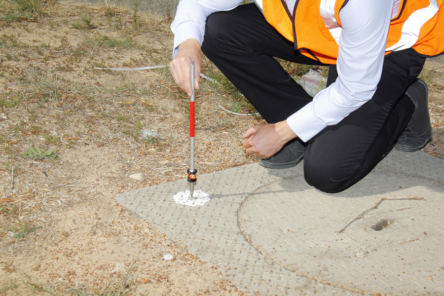
How Land Surveyors Help Prevent Property Boundary Disputes
By LPD Surveys · 06/03/2026
About This Author

Balcatta, Perth, Wa, Australia
More Articles From This Author
How 3D Laser Scanning Improves Site Documentation

2026-07-21Good site documentation gives project teams a clear, reliable picture of what's actually there. Notes, photos, and tape-measure readings still have their place, but they tend to fall short once a building or worksite has irregular geometry.… Read More »
Why Builders Need Accurate Land Surveys Before Construction Begins

2026-06-29Why Builders Need Accurate Land Surveys Before Construction Begins Building starts long before concrete trucks arrive. In Western Australia, a survey gives you the fixed points, boundaries, and levels required to price and plan a project wi… Read More »
How Land Surveyors Help Prevent Property Boundary Disputes

2026-05-03Disagreements over boundaries usually start small. Maybe a fence is built slightly off the line, or an old property plan doesn’t match what’s actually there. Over time, these little mix-ups can turn into real problems between neighbours. Th… Read More »
Understanding the WAPC Approval Process for Subdivision Applications

2026-04-11The Western Australian Planning Commission (WAPC) is in charge of dividing up land in Western Australia. They check how land is split to ensure it follows local rules and has the right infrastructure. Knowing how these steps work helps you … Read More »
Unlocking the Potential of Your Land in Perth

2026-01-08If you’re a property owner in Western Australia, you’ve likely looked at your backyard and wondered if it could be doing more for you. Perth’s property market is evolving, and for many, the answer lies in subdivision. It’s a strategy that c… Read More »