 Canada
 Cayman Islands
 Dominican Republic
 Hong Kong
 India
India
 Indonesia
 Ireland
 Jamaica
 New Zealand
 Singapore
 Thailand
 United Kingdom
 United States
 Vietnam

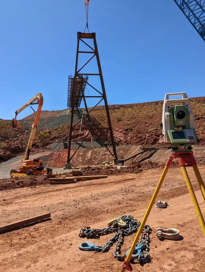
Good site documentation gives project teams a clear, reliable picture of what's actually there. Notes, photos, and tape-measure readings still have their place, but they tend to fall short once a building or worksite has irregular geometry. 3D laser scanning fills that gap, capturing dense spatial data quickly and leaving behind a digital record teams can dig into long after the field visit ends.
A Fuller Record of Existing Conditions
A laser scanner works by sending out light pulses and calculating where they land. Together, these measurements form a point cloud, a three-dimensional dataset that maps walls, floors, services, equipment, terrain, and structural elements. Rather than working from a handful of dimensions, teams get a much fuller picture of what's actually on site.
For renovation or redevelopment projects, a land surveyor in Perth can turn this record into drawings, models, and the kind of detail that informs real planning decisions. It also captures awkward or complex shapes that are genuinely hard to explain through photos alone.
Fewer Return Visits and Missing Measurements
Nobody knows every measurement they'll need until they need it. A designer might realise weeks later that a ceiling height, pipe clearance, or façade detail was never recorded. With a solid point cloud on hand, most of those extra measurements can simply be checked digitally, no need to send someone back out.
A Perth surveyor can capture areas before they disappear behind walls, ceilings, concrete, or landscaping, creating a lasting reference for maintenance, upgrades, claims, or future work down the track.
Clearer Coordination Across Project Teams
Point clouds feed straight into 2D plans, elevations, sections, and full 3D models. That means architects, engineers, builders, and owners are all looking at the same site record, instead of piecing things together from separate sketches and photo folders. Design conversations get sharper, and clashes between proposed work and existing conditions are easier to spot early.
When licensed surveyors in Perth tie scan data back to proper survey control, the documentation lines up with everything else being used on the project. It's worth agreeing on accuracy and deliverables upfront, before scanning even starts.
Better Progress and As-Built Records
Scanning at different stages builds a time-stamped history of construction progress. Teams can check completed work against design models, confirm alignment, track changes, and keep an accurate record as the build moves forward, particularly handy when the original plans are outdated or nowhere to be found.
Turning Data Into Useful Deliverables
Good scanning takes more than just showing up with equipment. It means planning scanner positions, working around obstructions, registering scans together, checking quality, and preparing files the client can actually open and use. A beautiful point cloud is worthless if it just sits there unopened.
For property, construction, infrastructure, and industrial projects, 3D laser scanning builds a richer site record and gives teams real evidence to back their decisions. Talk to LPD Surveys about the right approach and deliverables for your project.
For more information visit https://lpdsurveys.com.au/ now.